# if using VSCode may been
#install.packages("languageserver")
hist(mtcars$mpg)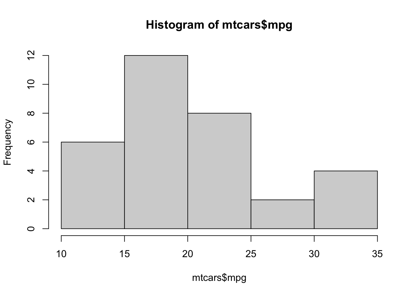
How can we make our lessons a bit more interactive??
Here’s some markdown code showing how to use markdown to do cool things in our quarto markdowns.
::: callout-tip
## Challenge 1
How can we make our lessons a bit more interactive??
:::

::: {.callout-caution collapse="true"}
## Solution

We can take advantage of cool markdown!

:::
You can define sections in your quarto using html.
<div class="questions">
</div># if using VSCode may been
#install.packages("languageserver")
hist(mtcars$mpg)
Write a function to convert map scale. For example, on a 1:25,000 map (good for hiking!) the distance between two points is 15 cm. How far apart are these in real life? (3750 m).
[Reminder: 15 cm * 25000 = 375000 cm = 3750 m]
Your function should take as input two numbers: the distance on the map (in cm) and the second number of the scale and, i.e. calculate_distance(15, 25000) should return 375000
#Declare the name of the function
# this is not a R example - but you get the idea!
def calculate_distance(distance_cm,scale):
    '''calculates distance based on map and scale
    returns: z
    inputs: distance_cm,scale
    distance_cm and scale are two integers
    returns the product of distance_cm and scale
    '''

    return(distance_cm * scale)